Subject: New England - United States
Period: 1905-23 (dated)
Publication:
Color:
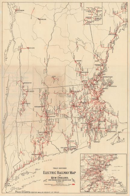
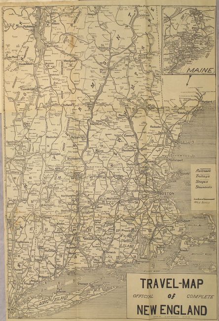
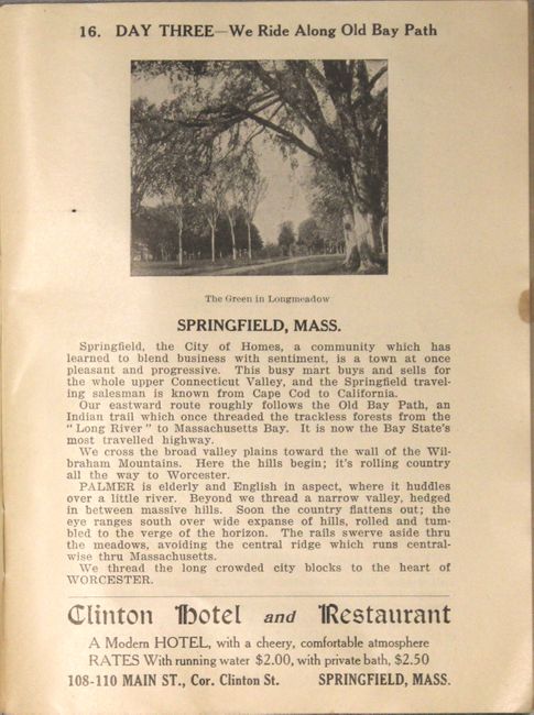
This lot includes three trolley maps and a guide booklet with a map from the golden age of American trolleys. The first two maps are bird's-eye chromolithographs. One overlooks Boston from the east and covers southern and central New England while the other covers a portion of the Connecticut Valley from Hartford to northern Massachusetts. Both chromolithographs are oriented with north to the right. The third and fourth maps show the electric railways and railroads across all of New England. The last map is bound into a 41-page guide book which provides text and illustrations of stops along the electric lines.
A. Connecticut Valley Electric Transit Route Hartford, Conn. to Greenfield, Mass. Including Mt. Tom, by T.C. Perkins, dated 1905, printed color (30.3 x 8.1").
B. Trolley Pathfinder Birds Eye Map of Interurban Trolley Lines in New England, by Metropolitan News Co., dated 1905, printed color (20.5 x 13.9").
C. Trolley Wayfinder Electric Railway Map of New England, by New England Street Railway Club, dated 1909, printed color (13.6 x 20.6").
D. Travel-Map of New England, by the Guide Publishing Co., published 1923, black & white (12.5 x 18.4").
References:
Condition: B+
Overall very good with minor soiling and staining.


