Catalog Archive
Auction 157, Lot 703
"[Lot of 2] La Nubia ed Abissinia [and] Parte della Costa Orientale dell' Africa con l'Isola di Madagascar e le Carte Particolari dell' Isole di Francia e di Borbon", Zatta, Antonio

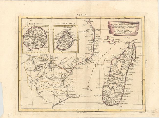
Subject: Eastern Africa & Madagascar
Period: 1784 (dated)
Publication: Atlante Novissimo
Color: Hand Color
Size:
15.9 x 12.1 inches
40.4 x 30.7 cm
Download High Resolution Image
(or just click on image to launch the Zoom viewer)
(or just click on image to launch the Zoom viewer)