Catalog Archive
Auction 158, Lot 211
NO RESERVE
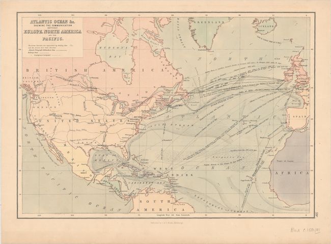
"Atlantic Ocean &c. Shewing the Communication between Europe, North America and the Pacific", Black, Adam & Charles

Subject: North Atlantic
Period: 1881 (circa)
Publication:
Color: Printed Color
Size:
15.1 x 10.4 inches
38.4 x 26.4 cm
Download High Resolution Image
(or just click on image to launch the Zoom viewer)
(or just click on image to launch the Zoom viewer)

