Subject: Western Canada
Period: 1878 (circa)
Publication:
Color: Black & White
Size:
24.2 x 16.1 inches
61.5 x 40.9 cm
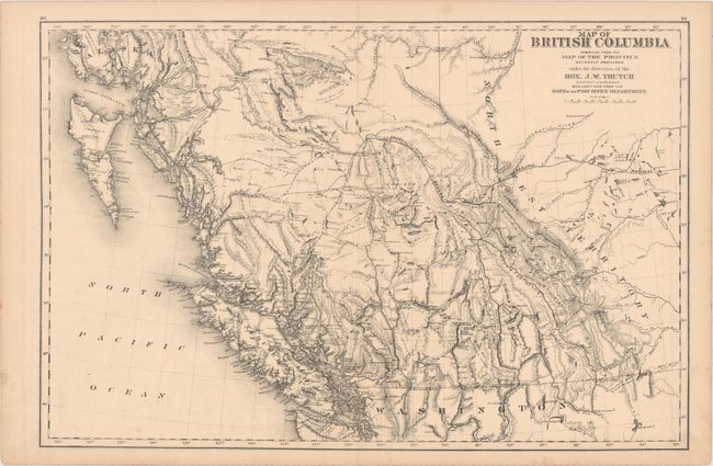
This map was published shortly after British Columbia entered the Confederation in 1871, which occurred after the Canadian government promised to extend construction of the Canadian Pacific Railway into the province and to absorb British Coumbia's debt. This map shows both the completed and planned routes of the Canadian Pacific Railway. Joseph Trutch, an English-born Canadian engineer and surveyor, worked together with the colonial governor Anthony Musgrave to negotiate British Columbia's entry into the Confederation. Trutch was appointed the first Lieutenant Governor of British Columbia from 1871-76. On verso are portraits of important people from the region and images of various important buildings and sites in Cornwall, Ontario.
References:
Condition: B+
A hint of offsetting with a tear that just enters the map border at bottom and marginal soiling.


