Subject: Atlases, South Pacific Islands
Period: 1827 (published)
Publication:
Color: Black & White
Size:
16.8 x 22.8 inches
42.7 x 57.9 cm
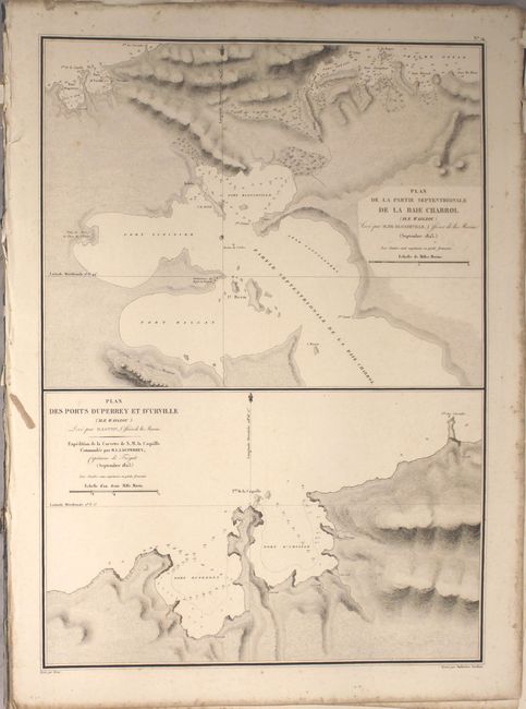
This is a disbound, partial example of the atlas volume of the six-volume set documenting Duperrey's explorations. It includes the title page, table of contents, introduction, some tables, and 30 of the 49 charts. Areas covered include Trindade and Martim Vaz, Peru, the Tuamotus, Buka Island, New Ireland, Schouten Islands, Waigeo, Gebe, Ombai Strait, Savu, Fiji, the Carolines, New Guinea, Buton, Saint Helena, and Brazil. Engraved by Ambroise Tardieu.
French naval officer and explorer Louis Isidore Duperrey (1786-1865) commanded La Coquille on its journey around the globe from 1822 to 1825. Duperrey concentrated his explorations primarily in the Pacific, where he discovered previously unknown islands and thoroughly mapped areas such as the Caroline Islands. With aide from his second-in-command Jules Dumont d'Urville (a botanist) and the ship's two surgeons, Prosper Garnot and Rene Primevere Lesson, Duperrey made a number of important contributions to the scientific knowledge of his era, collecting an assortment of plant and animal specimens for the Museum d'Histoire Naturelle, studying the behavior of the currents in the Atlantic and Pacific oceans, and gathering data on meteorological phenomena and terrestrial magnetism.
References: Sabin #21353.
Condition: B+
Most of the charts are in very good condition, with light scattered foxing and minor to light offsetting. A handful of the sheets are lightly toned, and the chart showing the coast of Brazil has a chip with a small portion of the neatline missing. There are light damp stains on the title page.


