Catalog Archive
Auction 162, Lot 109
NO RESERVE
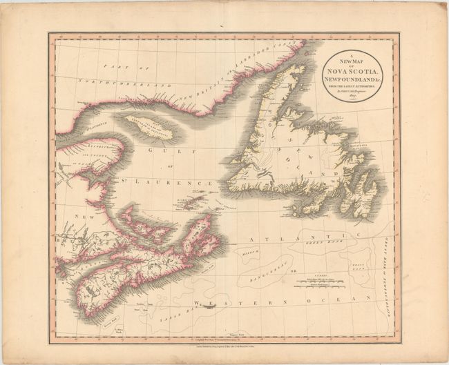
"A New Map of Nova Scotia, Newfoundland &c. from the Latest Authorities", Cary, John

Subject: Eastern Canada
Period: 1807 (dated)
Publication: New Universal Atlas
Color: Hand Color
Size:
20.3 x 18 inches
51.6 x 45.7 cm
Download High Resolution Image
(or just click on image to launch the Zoom viewer)
(or just click on image to launch the Zoom viewer)

