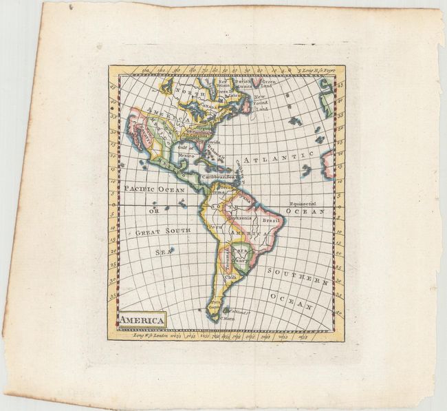
Subject: Western Hemisphere - America
Period: 1770 (circa)
Publication:
Color: Hand Color
Size:
4.1 x 4.7 inches
10.4 x 11.9 cm
This miniature map of the Americas shows North Carolina, South Carolina, and Georgia extending to the Mississippi River. Florida is divided between East and West, and the area above Virginia is New England. The southwest consists of Mew Mexico, New Navarre, and a peninsular California. The northwest portion of the continent is entirely blank. No engraver or publisher is noted, but it is likely a British publication with longitude indicated from London.
References:
Condition: A
A strong impression on watermarked paper with a tiny paper flaw confined to the top blank margin.


