Subject: Central Europe, Austria
Period: 1867 (circa)
Publication:
Color: Printed Color
Size:
17.4 x 22.9 inches
44.2 x 58.2 cm
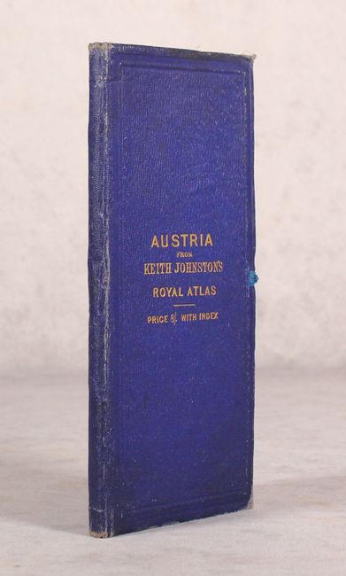
This map, issued on two sheets, shows the newly created Austro-Hungarian Empire. This new political unit was created as a result of Austria's defeat in the Austro-Prussian War of 1866, and would continue until 1918 when it dissolved at the conclusion of World War I. Cartographically, the map covers present-day Austria, Czech Republic, Slovakia, Hungary, and portions of Romania and the Balkans. It includes excellent topographical detail throughout along with railroads, canals, and battle sites. Features insets of "Vienna and its Environs" and "Continuation of Dalmatia." Published by Blackwood & Sons in London and Edinburgh. Size listed is for each map sheet. Folds into blue cloth boards with gilt title on front cover (4.2 x 9.2").
References:
Condition: B+
Overall light toning with a bit of foxing in the top left corner of the western sheet. Covers have average wear and minor staining.


