Subject: Glacier Park, Montana & Waterton Park, Canada
Period: 1952 (dated)
Publication:
Color: Printed Color
Size:
25.5 x 29.8 inches
64.8 x 75.7 cm
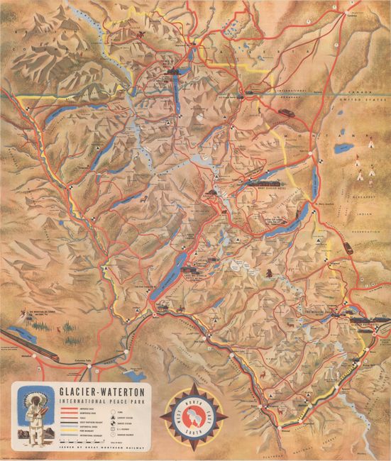
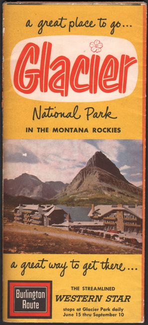
This colorful pictorial map was issued by the Great Northern Railway and touts the region as "the only National Park in the U.S. on the main line of a transcontinental railway." The map covers both Glacier National Park in the U.S. and Waterton Park in Canada, the world's first international park created in 1932. The map locates many popular destinations within the parks including Lake McDonald, the Apgar Building, Going-to-the-Sun Road, and Prince of Wales Hotel to name a few. A legend further identifies improved roads, unimproved roads, trails, the line of the Great Northern Railway, ranger stations, and more. Decorated by a compass rose featuring a mountain goat and signed by "Wessel" at lower right. The verso contains numerous illustrations and an inset of tour maps of Glacier.
References: Rumsey #8206.
Condition: B+
Issued folding with several short fold separations and a minor abrasion on a fold near Bowman Lake (middle left).


