Subject: Cape Breton Island, Canada
Period: 1758 (published)
Publication: London Magazine
Color: Black & White
Size:
7.1 x 4.4 inches
18 x 11.2 cm
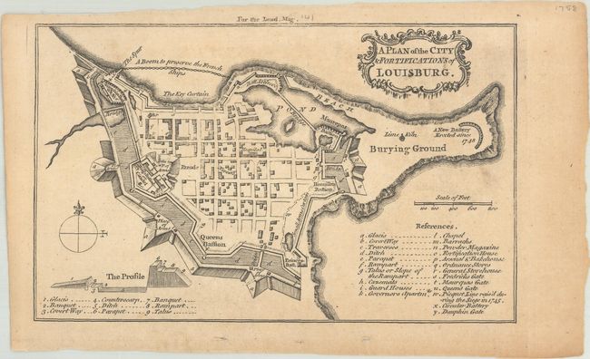
This small plan was published in the August 1758 edition of London Magazine. Issued during the French-Indian War, this bird's-eye view depicts the fortified city and includes a key to 23 locations including the Barracks, Powder Magazine, Battery, several gates, and a chapel. The British took control of Louisburg in June of 1758 and systematically destroyed its fortifications over the next decade in the event the island was returned to the French as part of the peace process.
References: Jolly #LOND-141; Sellers & Van Ee #338; Phillips (Maps) p. 364.
Condition: B+
Light toning and minor soiling. There are a few tiny holes confined to the bottom blank margin.


