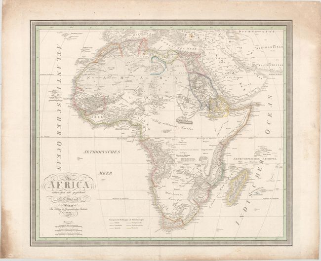
Subject: Africa
Period: 1829 (dated)
Publication:
Color: Hand Color
Size:
23.7 x 20.5 inches
60.2 x 52.1 cm
This handsome and uncommon German map of Africa includes large areas of unknown territory in the central and southern parts of the continent. These areas are filled in with tribal names, incomplete rivers, and notes on the region. Lake Malawi appears with conjectural borders as See Maravi. There is rich topographical detail and plenty of place names along the coasts. Madagascar is well rendered. A color key at bottom identifies British, French, Spanish, Portuguese, Dutch, and Danish colonial possessions.
References:
Condition: B+
There is minor scattered foxing and light extraneous creasing from previously being folded.


