Catalog Archive
Auction 176, Lot 655
NO RESERVE
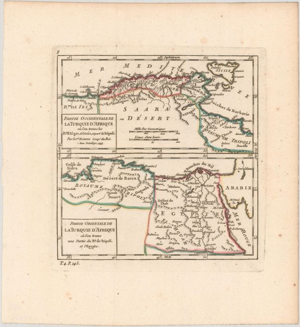
"Partie Occidentale de la Turquie d'Afrique ou l'on Trouve les Res. d'Alger, de Tunis, et Part' de Tripoli [on sheet with] Partie Orientale de la Turquie d'Afrique ou l'on Trouve une Partie du Re. de Tripoli et l'Egypte", Robert de Vaugondy, Gilles

Subject: Northern Africa
Period: 1748 (dated)
Publication: Atlas Portatif Universel et Militaire
Color: Hand Color
Size:
6.3 x 6.4 inches
16 x 16.3 cm
Download High Resolution Image
(or just click on image to launch the Zoom viewer)
(or just click on image to launch the Zoom viewer)

