Subject: Pacific Ocean, Western Hemisphere
Period: 1680 (circa)
Publication: Zee-Atlas
Color: Hand Color
Size:
23.6 x 20.4 inches
59.9 x 51.8 cm
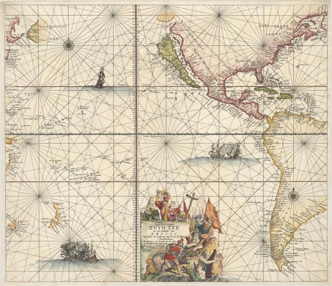
This dramatic sea chart of the Pacific Ocean also covers both coasts of North America and most of South America. The large island of California is presented on the second Sanson model with an indented northern coastline and the Straet Anian above it. In the upper left corner, the spurious coastlines of Eso and Compagnies Land appear north of Japan. The Ilhas de Ladrones (islands of thieves) are detailed, and there are several islands in Micronesia that were discovered during the search for westerly winds. In the vicinity of Australia, partial coastlines of Carpentaria, Tasmania and New Zealand appear, documenting the Dutch discoveries in the region. Ships and sea battles fill the ocean, and the graphic title cartouche incorporates a variety of allegorical and maritime figures.
References: McLaughlin #76; Suarez (PAC) Fig. 88; Tooley (Amer) #45, p.123; Tooley (AUS) #795; Wagner (NW) #443.
Condition: A
A crisp impression on a bright sheet with a professionally repaired hole at bottom right and a tiny chip in the bottom blank margin.


