Subject: Los Angeles, California
Period: 1915 (published)
Publication:
Color: Printed Color
Size:
7.8 x 10.9 inches
19.8 x 27.7 cm
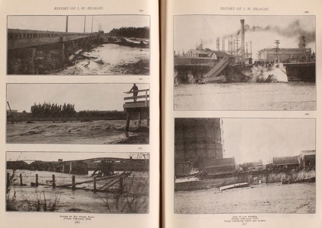
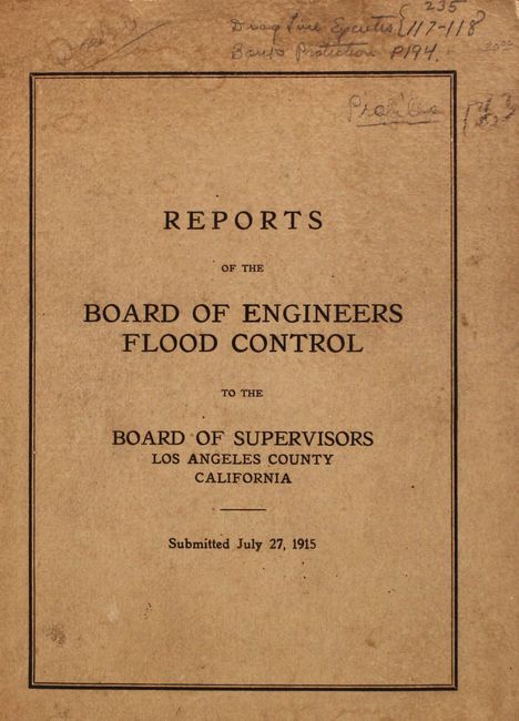
This 400-page volume consists of several detailed reports that were published in the aftermath of the Los Angeles Flood of 1914. The flood caused extensive damage in the region, and is depicted in the numerous photographic illustrations within the text. The reports also include a number of maps showing Los Angeles and vicinity and various options for preventing floods in the future. Of particular interest are the following:
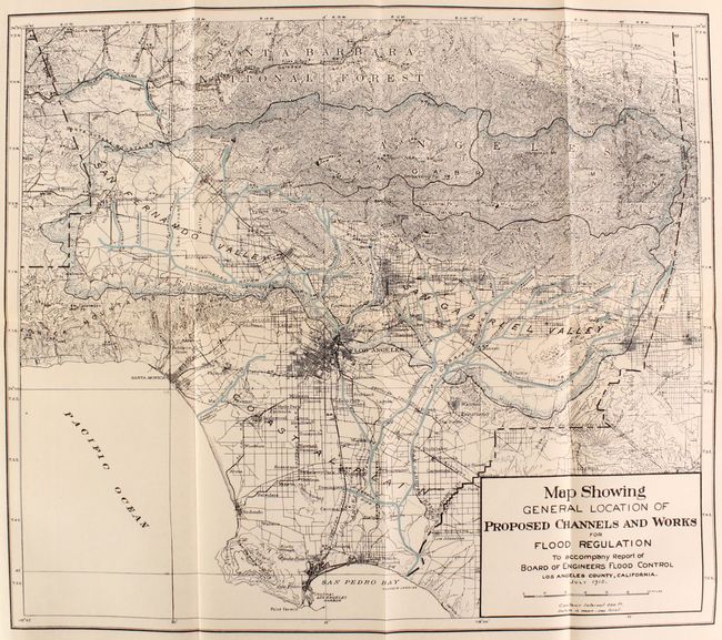
Map Showing General Location Of Proposed Channels And Works For Flood Regulation…July 1915. (18.0 x 20.5").
Map Of A Portion Of Los Angeles County Showing [By Color]…Areas Have Been Flooded, At Times, Since The Settlement Of The County…[And] The Area…Covered By The 1914 Flood. (21.0 x 27.0")
Map Showing Possible Location Of New River Channels…June 10, 1915. (21.0 x 20.5")
While a Flood Control Board subsequently was established with authority to find a solution, and some improvements were made to channel the rivers, the area experienced a more devastating flood in 1938. Quarto, printed paper wrappers. No previous sales records found.
References:
Condition: A
Condition code is for the maps/plates which are clean, bright, and near fine. Text is very good with occasional light dampstains and minor foxing in the margins, as well as some pencil notations. There is a previous owner's bookplate on the front pastedown. Wrappers are lightly worn with notations on the front wrapper.


