Catalog Archive
Auction 179, Lot 557
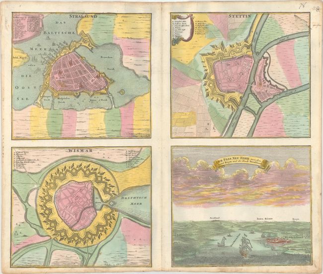
"Stralsund [on sheet with] Stettin [and] Wismar [and] Der Pass Neu Fehr Zwischen der Insul Rugen und der Stadt Stralsund", Homann, Johann Baptist

Subject: Northeastern Germany
Period: 1716 (published)
Publication:
Color: Hand Color
Size:
21.9 x 18.3 inches
55.6 x 46.5 cm
Download High Resolution Image
(or just click on image to launch the Zoom viewer)
(or just click on image to launch the Zoom viewer)

