Subject: Western United States & Mexico, Gold
Period: 1849 (dated)
Publication:
Color: Hand Color
Size:
18 x 20.6 inches
45.7 x 52.3 cm
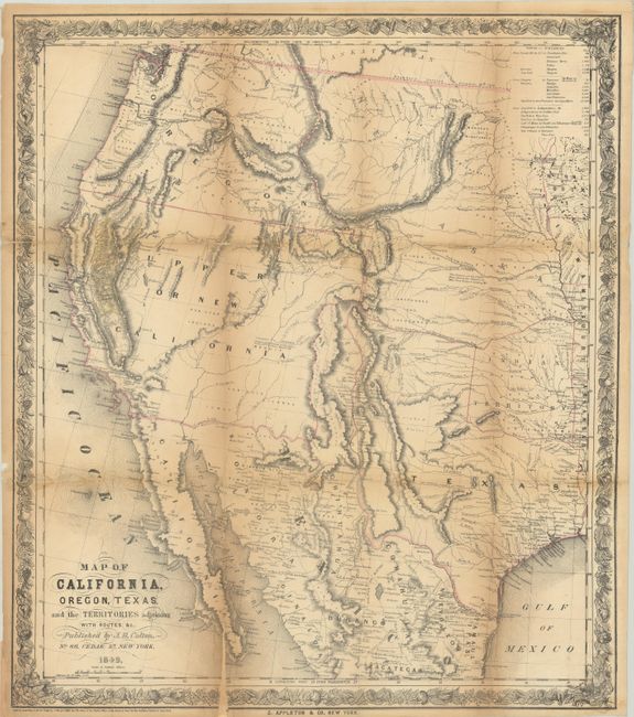
This map was issued to meet the huge demand for information concerning the gold deposits in California and was published in both J. Quinn Thornton's Oregon and California in 1848 and starting with the fifth edition of Edwin Bryant's What I Saw in California. According to Wheat, it is a combination of 1848 maps by Fremont and Tanner one year prior to statehood. It covers the western United States from Independence, Missouri to the Pacific Ocean with the gold region prominently highlighted in yellow. Several overland trails are depicted including the Oregon Trail, Fremont's route and Kearney's route. Numerous Indian tribes are located and a table at top indicates the distances from New York and Panama to points west. Published by D. Appleton & Co.
References: Wheat (TMW) #593; Wheat (Gold) #73; Howes #T-223 & #B-903.
Condition: B
Issued folding and now flattened and backed with tissue to reinforce and repair a number of fold separations. There is minor loss along the bottom left vertical fold and at two fold junctions. Light toning along the fold lines.


