Subject: Virginia
Period: 1858 (dated)
Publication:
Color: Hand Color
Size:
20.5 x 28 inches
52.1 x 71.1 cm
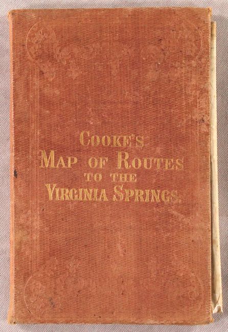
This fascinating and rare pocket map was created to encourage the burgeoning rejuvenation vacation market to the mineral springs in Greenbrier and Monroe counties, now part of West Virginia. The map focuses on the roads and railroads that lead to the springs from across the state, with detailed travel directions for those traveling from further away. Several US Presidents were known to have vacationed at the springs, helping the area to become a popular and prestigious destination for travelers. Interestingly, this map was published by William Dewey Cooke (1811-1885), who was at the time the head of the North Carolina Institution for the Deaf (now known as the Governor Morehead School), which he had also helped found. Cooke was a long-time educator of the deaf, earning a masters at the New York Institution for the Instruction of the Deaf and Dumb, and spent most of his teaching career in North Carolina. He became interested in publishing and established a printing press at the school, which became part of the curriculum. He published works regarding the deaf, agriculture and history, as well as several maps of North Carolina and this map of Virginia.
Also of note is the fact that this map was published just a few years before the Civil War in Richmond by Ritchie & Dunnavant, publishers of the Richmond Enquirer newspaper. J. A. Waddell, who worked with Matthew Fontaine Maury on his maps of Virginia and the United States, was also involved in the publishing of this map.
This map is very rare, with only 4 known examples in institutions and one example offered by a dealer.
References:
Condition: B+
A superb impression with bold contemporary color on a bright sheet. There is very minor soiling and a 2" fold separation at bottom right. There are 7 small pieces of cello tape on verso closing short separations along fold intersections. Covers are lightly worn and soiled.


