Catalog Archive
Auction 184, Lot 618
NO RESERVE
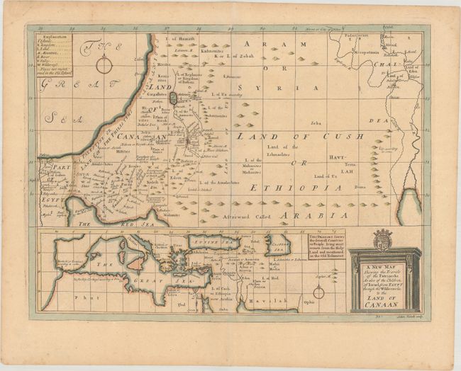
"A New Map Shewing the Travels of the Patriarchs. As Also of the Children of Israel, from Egypt Through the Wilderness; to the Land of Canaan", Wells, Edward

Subject: Middle East
Period: 1726 (circa)
Publication: A New Sett of Maps Both of Antient and Present Geography
Color: Hand Color
Size:
19.2 x 14.3 inches
48.8 x 36.3 cm
Download High Resolution Image
(or just click on image to launch the Zoom viewer)
(or just click on image to launch the Zoom viewer)

