Catalog Archive
Auction 187, Lot 211
NO RESERVE
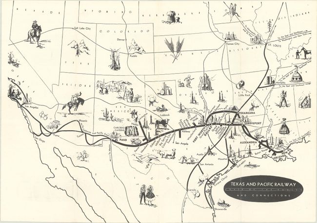
"[Lot of 3] Texas and Pacific Railway Route of the Eagles and Connections [and] [Letter from a Texas and Pacific Railway Executive] [and] [Typed Article] "Last Texas and Pacific Iron Horse Stripped for Scrap"", Texas & Pacific Railway Company
Subject: Southwestern United States, Texas
Period: 1930-57 (circa)
Publication:
Color: Black & White
Size:
12.1 x 8.9 inches
30.7 x 22.6 cm
Download High Resolution Image
(or just click on image to launch the Zoom viewer)
(or just click on image to launch the Zoom viewer)


