Subject: Boston, Massachusetts
Period: 1873 (dated)
Publication:
Color: Hand Color
Size:
19.4 x 15.4 inches
49.3 x 39.1 cm
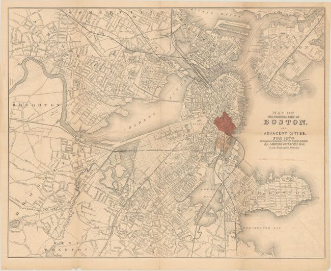
This detailed map of Boston and vicinity was issued following the Great Boston Fire of 1872. The fire ravaged the southeastern part of the city, with 65 acres completely destroyed worth $1.5 billion in damage in today's dollars. This "burnt district" is shown in red overprinting. The map extends west to Brookline, north to Somerville, and south to Dorchester Bay with good detail of the street grid pattern, wharves, docks, railroads, and more. Published for the Boston Almanac.
References: Phillips (Maps) p. 159.
Condition: B+
Issued folding with light toning and faint offsetting. A short fold separation to the right of the title has been closed on verso with archival tape.