Catalog Archive
Auction 187, Lot 510
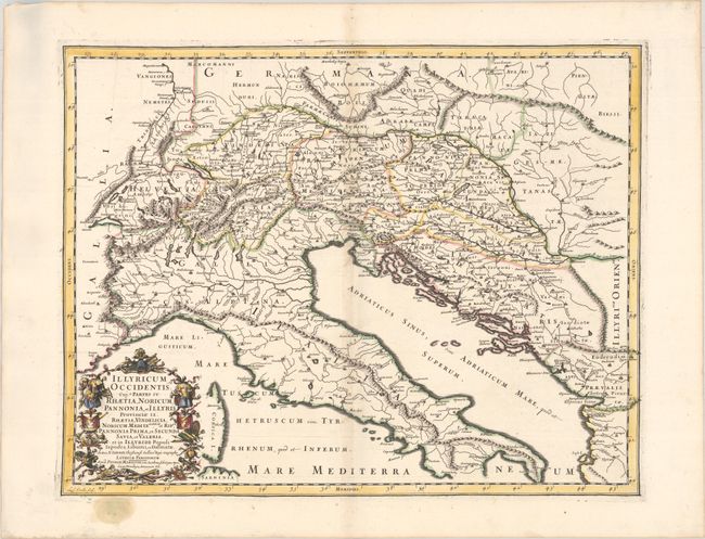
"Illyricum Occidentis. Cuj. 9 Partes IV. Rhaetia, Noricum, Pannonia, et Illyris Provinciae IX...", Sanson/Mariette

Subject: Southeastern Europe
Period: 1667 (published)
Publication: Cartes Generales de Toutes les Parties du Monde...
Color: Hand Color
Size:
20.6 x 16.2 inches
52.3 x 41.1 cm
Download High Resolution Image
(or just click on image to launch the Zoom viewer)
(or just click on image to launch the Zoom viewer)

