Catalog Archive
Auction 187, Lot 666
NO RESERVE
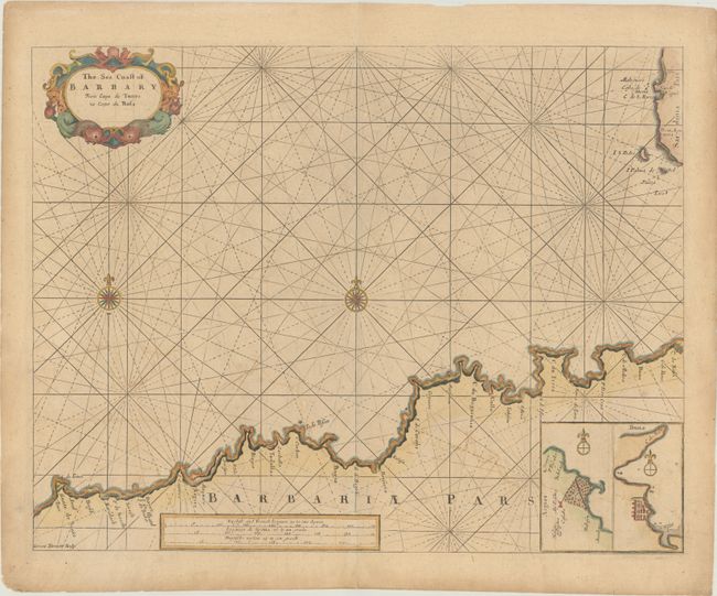
"The Sea Coast of Barbary From Cape de Tenes to Cape de Rosa", Seller, John

Subject: Algeria
Period: 1695 (circa)
Publication: Atlas Maritimus…
Color: Hand Color
Size:
20 x 15.5 inches
50.8 x 39.4 cm
Download High Resolution Image
(or just click on image to launch the Zoom viewer)
(or just click on image to launch the Zoom viewer)

