Catalog Archive
Auction 189, Lot 543
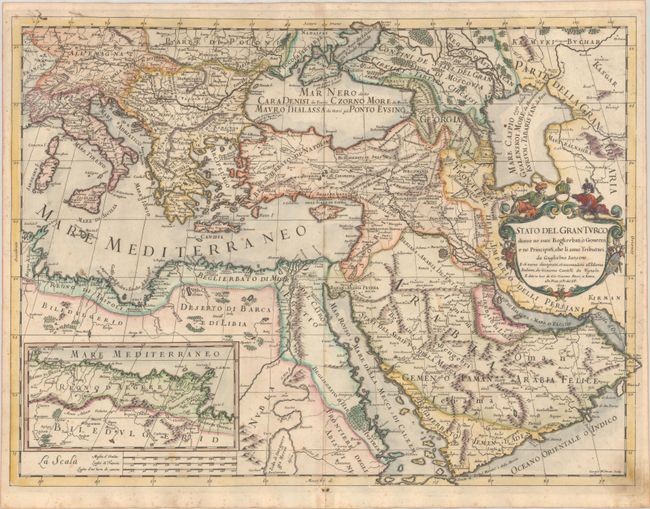
"Stato del Gran Turco Diviso ne suoi Beglierbati, o Governi, e ne Principati, che li sono Tributari da Guglielmo Sansone...", Cantelli da Vignola/de Rossi

Subject: Eastern Mediterranean & Middle East
Period: 1679 (dated)
Publication: Mercurio Geografico...
Color: Hand Color
Size:
22.7 x 16.8 inches
57.7 x 42.7 cm
Download High Resolution Image
(or just click on image to launch the Zoom viewer)
(or just click on image to launch the Zoom viewer)

