Catalog Archive
Auction 190, Lot 616
NO RESERVE
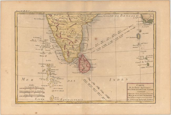
"Carte de la Partie Inferieure de l'Inde en Deca du Gange, Contenant l'Isle de Ceylan, les Cotes de Malabar, et de Coromandel...", Bonne, Rigobert

Subject: India & Sri Lanka
Period: 1780 (circa)
Publication: Atlas de Toutes les Parties Connues du Globe Terrestre
Color: Hand Color
Size:
12.4 x 8.2 inches
31.5 x 20.8 cm
Download High Resolution Image
(or just click on image to launch the Zoom viewer)
(or just click on image to launch the Zoom viewer)

