Catalog Archive
Auction 191, Lot 116

NO RESERVE

"Le Fleuve Saint-Laurent Represente Plus en Detail que dans l'Etendue de la Carte", Anville, Jean Baptiste Bourguignon d'
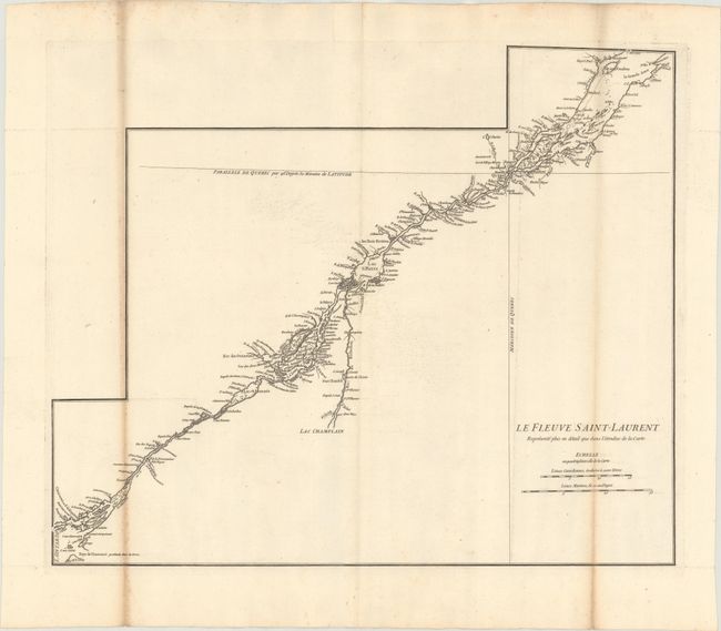
Subject: St. Lawrence River, Canada

Period: 1755 (circa)

Publication:

Color: Black & White

Size:
22.1 x 18.2 inches
56.1 x 46.2 cm
Download High Resolution Image
(or just click on image to launch the Zoom viewer)

This detailed map of the St. Lawrence River was designed as an inset map for D'Anville's Canada Louisiane et Terres Angloises. It was also published with a 24-page pamphlet entitled "Memoire sur la carte intitulee: Canada, Louisiane, & Terres Angloises." The map includes superb detail of the river from Lake Ontario to Isle aux Coudres, including the Rivier de Richelieu.

References: Kershaw #625.

Condition: B

Issued folding and printed on heavy paper with a birdhouse watermark and toning on two folds.

Estimate: $140 - $180

Sold for: $30

Closed on 2/8/2023

Archived