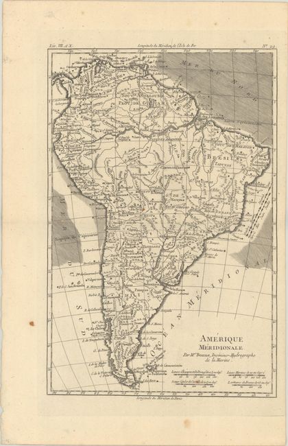
Subject: South America, Brazil
Period: 1780 (circa)
Publication: Atlas de Toutes les Parties Connues du Globe Terrestre
Color: Black & White
A. Amerique Meridionale, (8.3 x 12.5"). This detailed map shows extensive river systems and mountain ranges throughout the continent, much of which is spurious. A very later remnant of the mythical L. Parime appears in Guinea, and L. Xarayes is located in Matto Grosso. There are four distance scales beneath the title at bottom right.
B. Carte de la Partie Septentrionale du Bresil, (12.6 x 8.4"). This handsome map covers northern Brazil, from Cayenne to just past Salvador. The landscape is peppered with place names, Indian tribes, mines, and rivers. L. Parime is delineated in the northwest corner of the map. The direction of trade winds is shown in the Atlantic.
References:
Condition: A
Both maps are crisp impressions with a pair of tiny wormholes and a few small rust spots.


