Subject: France
Period: 1815-32 (circa)
Publication:
Color: Hand Color
A. France, by John Arrowsmith, circa 1832 (6.8 x 5.8"). This small map shows the departments, which are listed at the sides of the map along with the Swiss Cantons. Condition: Contemporary outline color with minor toning along the centerfold and light soiling.
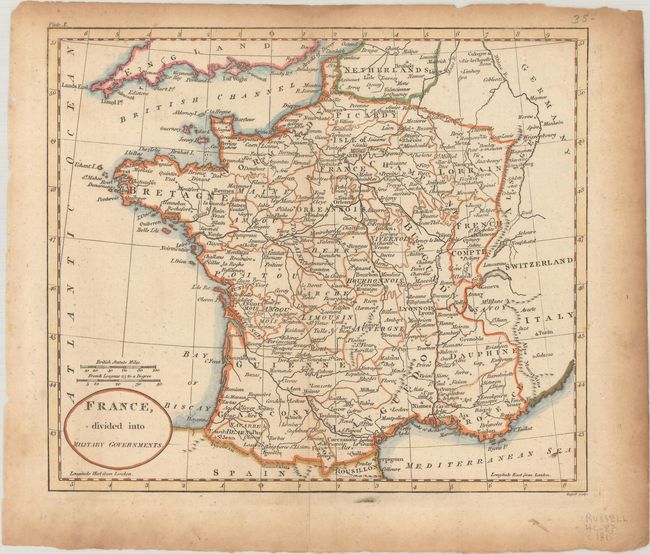
B. France, Divided into Military Governments, by John C. Russell, circa 1815 (8.5 x 7.4"). This map notes each department but divides the country into military governments, which vary slightly from the department boundaries. Condition: Issued folding with contemporary outline color, light toning, minor soiling, and a couple of short fold separations that have been closed on verso with archival tape.
References:
Condition: B+
See description above.


