Subject: Alaska
Period: 1869 (dated)
Publication:
Color: Hand Color
Size:
33.8 x 23.9 inches
85.9 x 60.7 cm
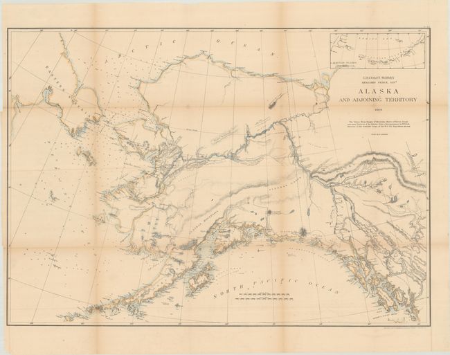
This is a remarkably early and detailed chart that is possibly the first complete survey of the territory's coastline since the transfer of sovereignty from Russia in 1867. Many features of the interior were taken from naturalist and scientific explorer William Healey Dall's 1865-68 Western Union Telegraph Expedition. Soundings fill the waters, and there is some nice topographical detail inland. An inset at top extends the main map, showing the entirety of the Aleutian Islands.
References: Falk (AK) #1869-1.
Condition: B+
Issued folding, now backed in archival tissue, with light toning along the folds and a few splits at fold intersections that have been closed with archival materials on verso. A tear that extends 1.5" into the image at top left has also been archivally repaired. A few other edge tears are confined to the blank margins.


