"[Map in Report] Topographical Sketch of Los Angeles Plains & Vicinity. August 1849 [in] Report of the Secretary of War, Communicating Information in Relation to the Geology and Topography of California", Ord, E. O. C.
Subject: Los Angeles, California
Period: 1850 (published)
Publication: Sen. Ex. Doc. 47, 31st Congress, 1st Session
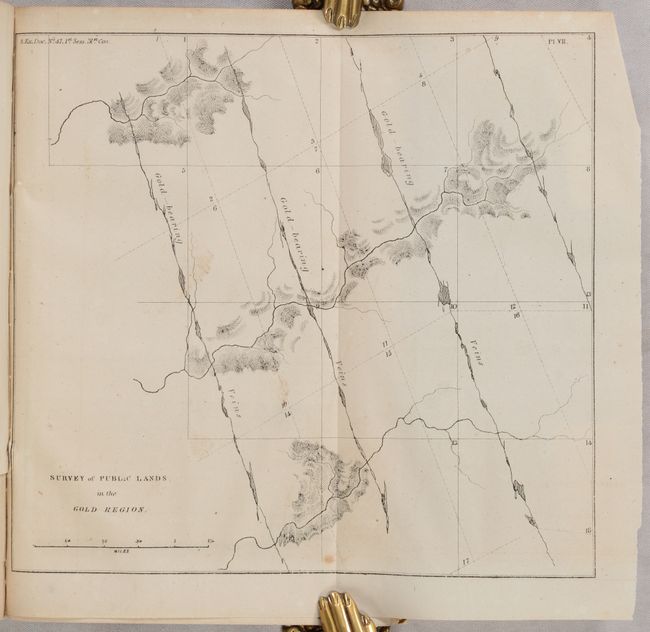
This is Philip Tyson's report concerning the geology and topography of the area between San Francisco and the Gold Region and is notable for the inclusion of the first geological maps and sketches of the region. According to Wheat, Tyson's work was "probably the earliest work of a true scientific research to emerge from the Gold Rush." It contains 9 of 10 plates including Survey of Public Lands in the Gold Region (8.6 x 7.9"), but is missing the three large folding maps of the Gold Region that accompany the report.
The report does include E.O.C. Ord's Topographical Sketch of Los Angeles Plains & Vicinity (6.1 x 7.4"). The Ruderman Map Collection at Stanford describes the Los Angeles sketch as “a curious addition to a publication whose real subject matter was the discovery of Gold in California. Nevertheless, it is of great significance as the first map done by Ord and also the first 'official' map of Los Angeles" (click here for more details.) Because military salaries could not keep up with Gold Region price inflation, Ord was authorized to work for local officials and produce the first formal survey of nascent Los Angeles.
164 total pages with 10 (of 14) total maps and plates. Hardbound in marbled boards.
References: Howes #T-455.
Condition: B+
Plates are very good with a hint of toning and a few spots of foxing. One small plate showing a geological section is loose. Text has occasional toning and foxing. Binding has light shelf wear.