Catalog Archive
Auction 193, Lot 269
"State of New Jersey", Barker, William
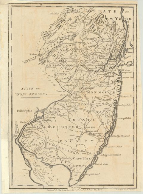
Subject: New Jersey
Period: 1799 (circa)
Publication: New Encyclopaedia
Color: Black & White
Size:
7.4 x 10.6 inches
18.8 x 26.9 cm
Download High Resolution Image
(or just click on image to launch the Zoom viewer)
(or just click on image to launch the Zoom viewer)