Subject: Antwerp, Belgium
Period: 1930 (circa)
Publication:
Color: Printed Color
Size:
26.2 x 19 inches
66.5 x 48.3 cm
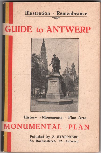
This detailed plan of Antwerp is peppered with illustrations of the city's architectural landmarks. It is included in a 103-page English-language tourist's guide to the city. The plan divides the city into a grid of 160 numbered sections and includes great detail of the streets, fortifications, and waterways. The Scheldt River is full of watercraft. An inset at top left zooms in on a canal. Advertisements for various hotels appear above the map. Published by Alph. Stappaers. The guide is filled with black & white illustrations and plenty of information about the history, culture, and principal attractions of the "Queen of the Northern Cities." Soft paper covers.
References:
Condition: B+
The map is clean and bright, issued folding with short splits along the folds. Text is lightly toned, and the covers have minor shelf wear.


