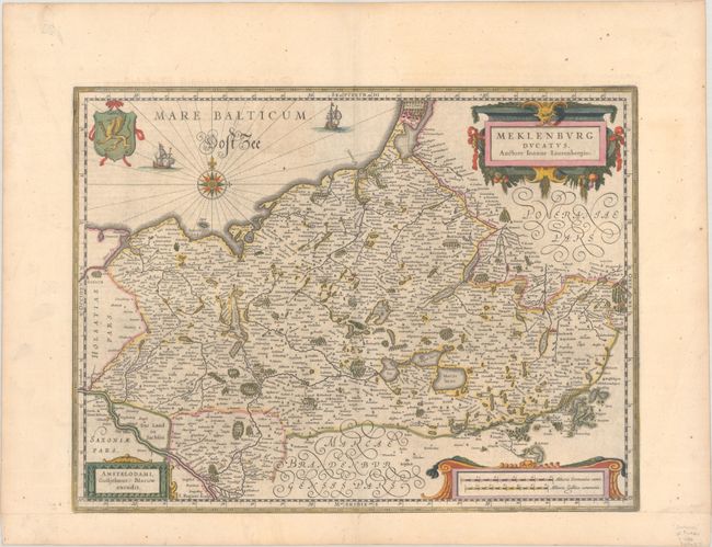
Subject: Northeastern Germany
Period: 1641 (circa)
Publication:
Color: Hand Color
Size:
21 x 16.2 inches
53.3 x 41.1 cm
Johan Laurenberg's attractive map of the northeastern part of Germany was originally produced by Jodocus Hondius shortly before his death. It was engraved by S. Rogiers. This plate was among the 39 Hondius copper plates that were purchased by Willem Blaeu in 1629. He replaced Hondius' imprint with his own and published them as part of his first atlas. The map is filled with place names and decorated with three cartouches, a coat of arms, two sailing ships and a compass rose. German text on verso, published between 1641-70.
References: Van der Krogt (Vol. II) #2210:2.2.
Condition: A
A dark impression with full contemporary color, light printer's ink residue, minor offsetting, and marginal foxing. Professionally remargined at bottom with period-correct paper.


