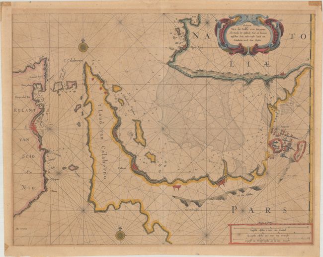
Subject: Gulf of Izmir
Period: 1683 (circa)
Publication: Zee-Atlas
Color: Hand Color
Size:
20.1 x 15.5 inches
51.1 x 39.4 cm
A scarce sea chart covering the Gulf of Izmir, western coast of Turkey, and the Greek island of Chios. The chart locates several cities and defensive positions along the coastlines, including the fortified city of Izmir. The surrounding waters are filled with navigational detail including soundings, anchorages, shoals, and offshore islands. The chart is further embellished by two compass roses, rhumb lines, distance scales, and a decorative strapwork title cartouche.
Jacobus Robijn acquired the published rights to the Zee-Spiegel and Zee-Atlas from the estate of Pieter Goos. In the latter part of the seventeenth century, he issued a number of pilot books and sea atlases, but produced only a few maps of his own.
References:
Condition: B
On a moderately toned sheet with minor foxing and offsetting. There are old tape stains in the top corners and paper remnants on verso.


