Catalog Archive
Auction 193, Lot 633
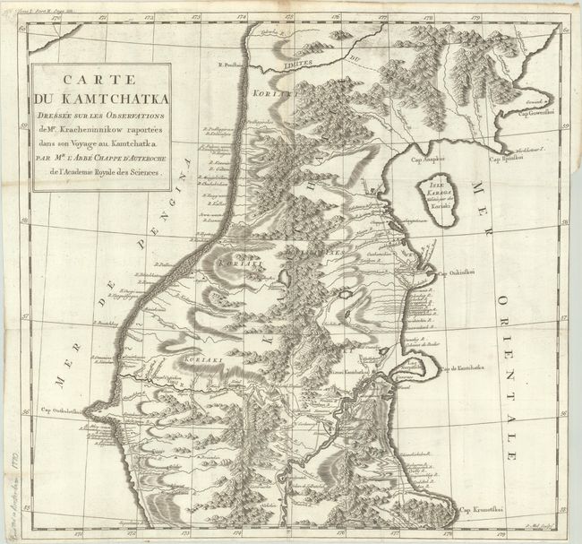
"Carte du Kamtchatka Dressee sur les Observations de Mr. Kracheninnikow Raportees dans son Voyage au Kamtchatka", Chappe D'Auteroche, Abbe Jean

Subject: Kamchatka
Period: 1770 (circa)
Publication:
Color: Black & White
Size:
17.5 x 16.8 inches
44.5 x 42.7 cm
Download High Resolution Image
(or just click on image to launch the Zoom viewer)
(or just click on image to launch the Zoom viewer)

