Subject: Southern Asia
Period: 1639 (circa)
Publication:
Color: Hand Color
Size:
19.4 x 14.4 inches
49.3 x 36.6 cm
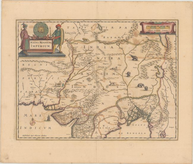
This map depicts the Empire of the Great Mogul in northern India including the region from Iran to Burma. The Indus and Ganges Rivers are the most prominent features of the map, along with the large mythical lake of Chiamay Lacus located in northern Burma. Wild beasts, including lions, tigers and elephants roam the interior, while a ship sails in the Indian Ocean. The map is further embellished with a large title cartouche flanked by two finely dressed gentlemen and a strapwork distance scale. This map was to become the standard map of the region for most of the 17th century and was copied by Blaeu, Jansson, De Wit and others. French text on verso, published between 1639-49 in either Nouveau Theatre du Monde and Nouvel Atlas.
References: Van der Krogt (Vol. I) #8300:1.1.
Condition: B
A sharp impression with full contemporary color on a lightly toned sheet. There is moderate offsetting, and the centerfold is backed in archival tissue, repairing a couple splits and a short crack due to oxidation of the green pigment.


