Subject: Africa
Period: 1683 (circa)
Publication: Description de l'Univers
Color: Black & White
Size:
4.2 x 5.8 inches
10.7 x 14.7 cm
This lot features three small maps of Africa from Mallet's Description de l'Univers each with French text on verso:
A. Ancienne Ethiopie. The map covers all but the northwestern portion of the continent. It includes Madagascar, here called Isle Menuthias. The origins of the Nile are located in massive twin lakes south of the equator, with the Montagnes de la Lune shown in southern Africa. There is little inland detail aside from rivers and tribal names. Condition: A nice impression. (A)
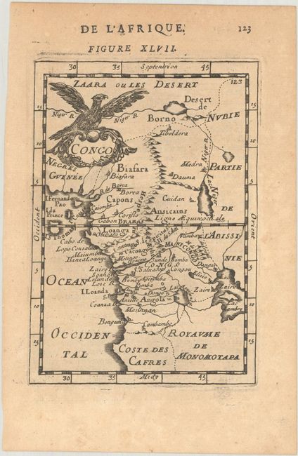
B. Congo. This handsome map stretches from the Sahara south to Angola. Most of the place names are confined to the coastlines. The mythical lakes of Zaire and Zambre are depicted as one large lake with an island at its center. A large bird alights on the decorative title cartouche at top left. Condition: A sharp impression on a lightly toned sheet. (B+)
C. Biledulgerid. Three small maps on one sheet covering the Barbary Coast and the Sahara Desert. The largest map at bottom is decorated with various wildlife, including a fantastical winged reptile, and a title cartouche featuring two figures in local dress. Condition: A crisp impression on a lightly toned sheet. (B+)
References: Pastoureau, MANESSON-MALLET A [304], [330], & [345].
Condition:
See description above.


