Subject: Atlases
Period: 1886 (published)
Publication:
Color: Hand Color
Size:
13.8 x 19.6 inches
35.1 x 49.8 cm
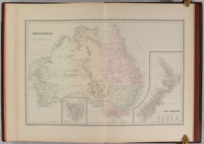
This atlas is typically seen with maps of both the eastern and western hemispheres, but is offered here with 30 bound maps (22 double-page and 8 single-page) of the Eastern Hemisphere. There are maps of the world (3), Europe (15), Asia (5), Africa (2) and Australia (1). Of particular interest is a double-hemisphere world map, maps of the continents, a nice map of China and Japan, and a North Polar chart. Embellished by decorative borders with a place name index for each map. The atlas is well constructed with maps on thick paper with blank versos and backstraps. Hardbound in quarter leather with tips over original brown pebbled-cloth boards with gilt title on the front cover.
References:
Condition: A
Condition code is for the maps, which are remarkable clean and bright with a hint of toning along the sheet edges. Hinges are starting and the spine backstrip has chipped off at top and bottom. Covers are lightly scuffed and worn.


