Subject: Geography Books
Period: 1777 (published)
Publication:
Color: Black & White
Size:
4 x 6.8 inches
10.2 x 17.3 cm
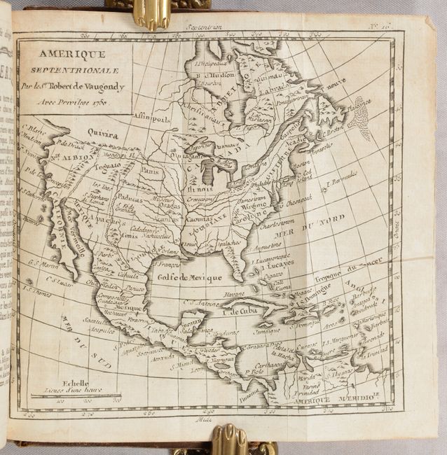
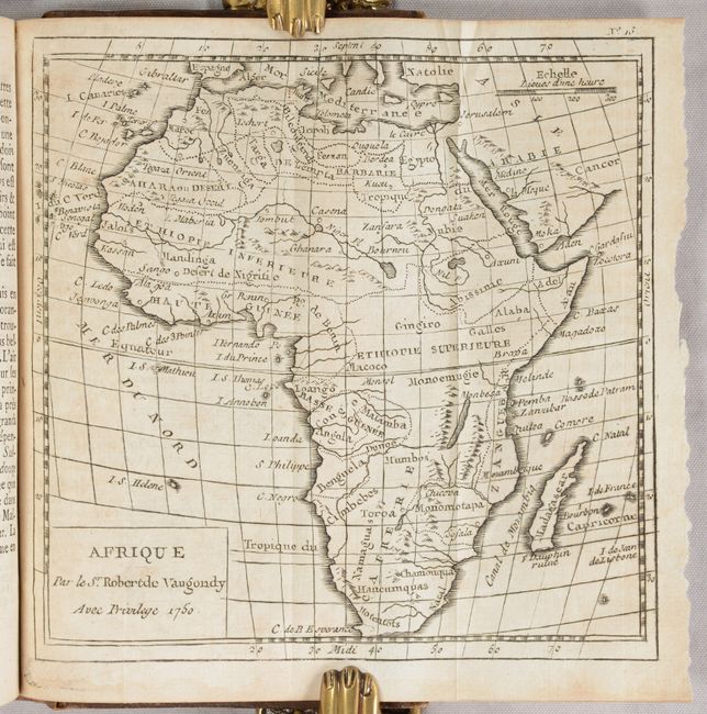
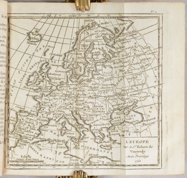
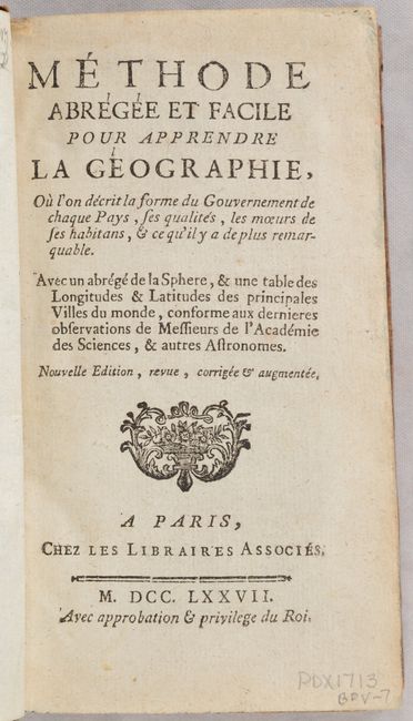
This lovely small geography book by Auguste Le Francois includes 17 folding maps by the Robert de Vaugondy family. There are maps of the world, five continents, and eleven regional maps within Europe. Most of the maps measure around 6 x 6", however the world map is a bit larger at 10.8 x 5.5". The map of North America, Amerique Septentrionale, has the western part of the continent labeled Nle. Albion with Quivira above and Teguaio in the area of today's Utah. The entire Northwest coast above Albion is blank and partially hidden by the square cartouche. There is an open-ended bay in Hudson Bay allowing for the possibility of the Northwest Passage. Apaches are correctly located in the Southwest, and Texas is named Cenis and is a part of Spanish Floride, which incongruently does not include Florida. The British Colonies are shown along the eastern seaboard, with the large French possessions of Louisiane to the west.
16mo; 515 pages, title page, preface, advertisement, table of contents, and 17 maps. Hardbound in full contemporary leather with raised bands, gilt tooling, and gilt titling on spine; all edges marbled; and original blue ribbon page marker.
References:
Condition: A
The maps are clean and bright with minor occasional misfolding. The text is also clean and bright with a faint dampstain along the bottom edge of the first few pages, including the world map (although the dampstain is confined to the margin). There is a previous owner's stamp at the bottom of page 1 and some pencil notations on the last page in the volume and on the front free-endpaper. The covers are lightly worn with bumped corners, and there are some worm tracks at the bottom of the spine.


