Catalog Archive
Auction 194, Lot 114
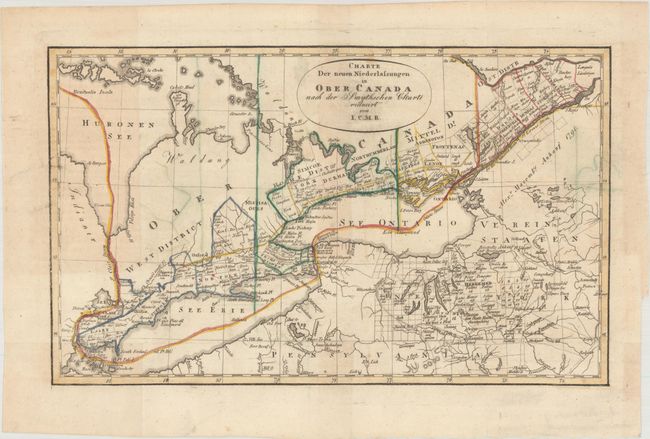
"Charte der Neuen Niederlassungen in Ober Canada nach der Smythschen Charte", I.C.M.R.

Subject: Northeastern United States & Canada, Great Lakes
Period: 1815 (circa)
Publication:
Color: Hand Color
Size:
12.1 x 7.4 inches
30.7 x 18.8 cm
Download High Resolution Image
(or just click on image to launch the Zoom viewer)
(or just click on image to launch the Zoom viewer)

