Subject: Western United States
Period: 1877-78 (published)
Publication:
Color: Printed Color
Size:
9.2 x 11.9 inches
23.4 x 30.2 cm
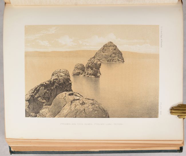
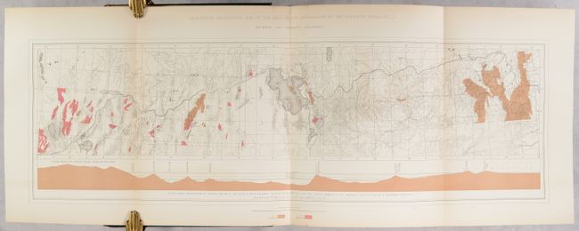
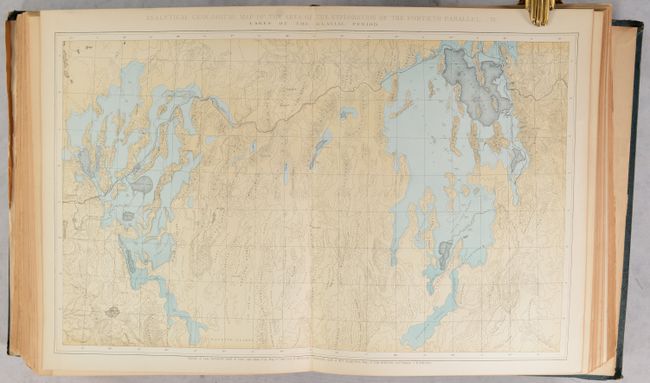
This lot features two mammoth volumes by Clarence King. The first volume, Systematic Geology, contains 803 pages of text and is illustrated with 12 maps, 7 of which are folding, and focus on King’s area of exploration along the 40th Parallel. The volume also features a colored frontispiece, profiles, and 24 (of 26) tissue-guarded plates including views of the Washakie Badlands, Uinta Range, Green River, Shoshone Falls, and more. The chromolithographs are based upon the studies of Gilbert Munger while the uncolored photographic plates are based upon photographs by T.H. O’Sullivan. The second volume, Descriptive Geology, contains 890 pages of text and is illustrated by a colored frontispiece and 25 plates, mostly tinted, based again on O’Sullivan. Thick quartos. Each is hardbound in green cloth with gilt tiles on the spines.
Clarence King was a geologist, explorer, and cartographer best known for this work along the 40th Parallel. His work helped to establish the foundation for much of the modern understanding of the geology of the American West, and his contributions have been recognized as significant achievements in the history of western geology. O’Sullivan was a noted Civil War photographer who joined King and produced remarkable photographs of western scenery under challenging conditions.
References:
Condition: B+
Condition code is for the maps and plates, which are clean, bright and very good to mostly near fine. Text has uniform light toning. Hinges are quite loose with the rear board of volume 1 nearly detached. Bindings have average shelf wear with bumped corners. Ex-library.


