Catalog Archive
Auction 194, Lot 223
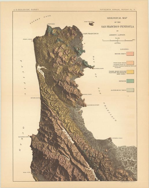
"Geological Map of the San Francisco Peninsula", U.S. Geological Survey (USGS)

Subject: San Francisco, California
Period: 1895 (published)
Publication: Fifteenth Annual Report
Color: Printed Color
Size:
9.6 x 13 inches
24.4 x 33 cm
Download High Resolution Image
(or just click on image to launch the Zoom viewer)
(or just click on image to launch the Zoom viewer)

