Subject: New York
Period: 1873 (dated)
Publication:
Color: Hand Color
Size:
36.5 x 33.5 inches
92.7 x 85.1 cm
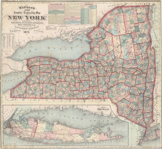
A large and detailed map of the state that was separately issued as a pocket map (covers not present). It is hand colored by county with a legend identifying county seats, townships, post offices, railroads (completed and under construction), and canals. Features an inset of Long Island on the same scale at bottom. Text at top gives a brief description of the state, which "surpasses every other state in aggregate population and wealth." A population table at left indicates the state's population at 4.4 million as of 1870. We found no past sales results for this map and only one example listed on OCLC (New York State Library).
References:
Condition: B+
Issued folding and now flattened and backed with tissue to reinforce and repair several small fold separations and a couple of edge tears at left. There is minor foxing and the sheet has been trimmed to the borders.


