Subject: Texas
Period: 1936 (dated)
Publication:
Color: Printed Color
Size:
32.1 x 26.6 inches
81.5 x 67.6 cm
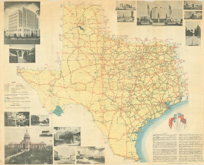
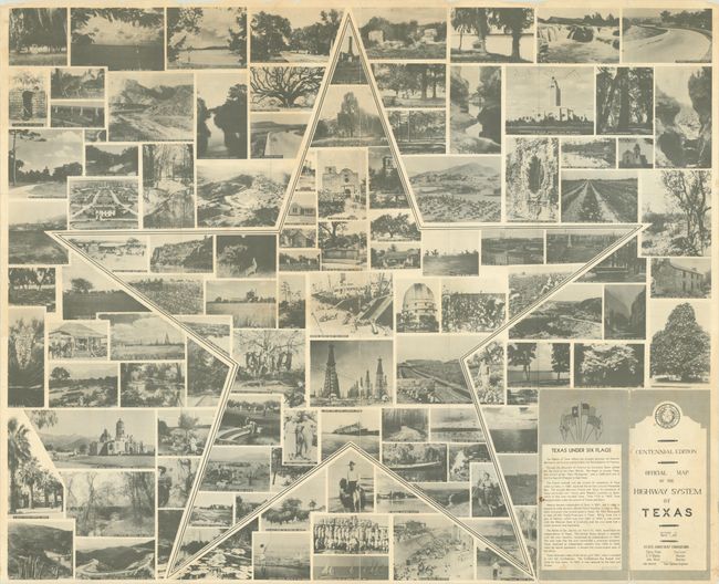
This elaborate production was the first illustrated map by the State Highway Commission. It was issued in celebration of Texas' Centennial and locates U.S. highways, state highways, gravel roads, “improved earth roads” and simply “earth roads.” Mileages are displayed between locations for ease of use. The map is surrounded by a number of photo illustrations, the six flags of Texas in color, and music for “Texas Over All,” a song written by state highway engineer Gibb Gilchrist. The verso features a collage of notable sites with the Lone Star in outline. Self-folding (4.0 x 9.0”).
References:
Condition: B+
Issued folding with a few short fold separations in the map and several more along the top and bottom sheet edges. There is minor toning mostly at top and one small tear that has been closed on verso with archival tape.


