Subject: Chile, Aviation
Period: 1956 (dated)
Publication:
Color: Printed Color
Size:
6.1 x 31.4 inches
15.5 x 79.8 cm
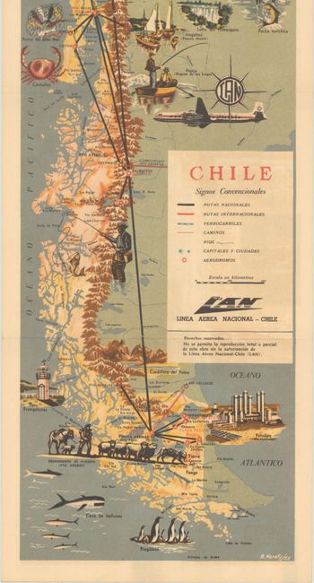
Credited to R. Nerety and issued by Linea Aerea Nacional-Chile, this rare and terrific pictorial map depicts the many attractions of Chile. Since it is a promotional item for an airline, it prominently displays both national and international air routes and airfields. Railways, roads, rivers, and cities are identified as well. Fine illustrations highlight the nation's tourist attractions, natural resources, architecture, wildlife, and more. A large LAN plane soars at the map's center. Self-folds into a pamphlet with illustrations and Spanish-language blurbs describing the major cities on verso.
References:
Condition: A
Issued folding with minor offsetting in the title cartouche and a touch of soiling to the pamphlet covers.


