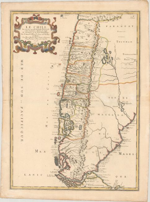
Subject: Southern South America, Chile
Period: 1656 (dated)
Publication: Cartes Generales de Toutes les Parties du Monde…
Color: Hand Color
Size:
15.3 x 21.3 inches
38.9 x 54.1 cm
This important map of Chile, showing the Cuyo provinces (Chucuito), is based on the descriptions of Alfonso de Ovalle, a Chilean-born Jesuit. Ovalle created the first comprehensive history and description of Chile, which was published in 1646 and is extremely rare. This map is the first widely available edition of Ovalle's map. Detail is primarily confined to the region west of the Andes, with numerous rivers and towns noted, including Santiago, Concepcion, and Valdivia. The map extends south to the Magellan Strait, and is graced with a lovely title cartouche that complements the scientific style of the cartography.
References: Pastoureau, SANSON V A #94.
Condition: A
Contemporary outline color with later color in the title cartouche on a sheet with a measuring dividers watermark. There is a faint stain and a hint of toning in the map image.


