Subject: Britain, Atlases
Period: 1937 (published)
Publication:
Color: Printed Color
Size:
8.8 x 11.5 inches
22.4 x 29.2 cm
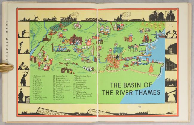
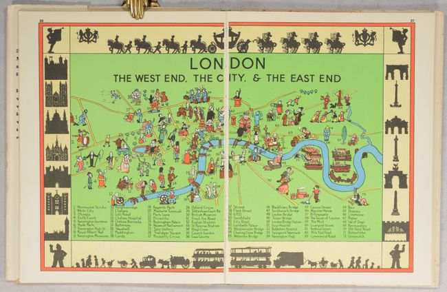
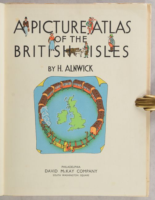
This pictorial atlas was created by Herbert Alnwick "to amuse his own children" and includes 15 double-page pictorial maps of England, Wales, Scotland, Ireland, London, and Europe. Each map is filled with whimsical illustrations and features a numbered key identifying important locations, all surrounded by a border with silhouetted figures. A detailed, 32-page gazetteer is included in the book providing information on important towns and sites on each map. At the end of the volume is a black and white map of the British Isles with abbreviations for dozens of locations to encourage youngsters to name places on the map. First published by George G. Harrap & Co. Ltd. in London; this edition was published by David McKay Company in Philadelphia.
Herbert Alnwick (1895-1954) was a British teacher, author and illustrator. He served as a teacher at a school in Darlington prior to World War I, and then enlisted in the British Army after the outbreak of the war. After the war, he was elected a Fellow of the Royal Geographical Society and rejoined the teaching profession. During his career he created several geographical publications intended for school-aged children, most published by G. Harrap as part of the New Geographical Series in the 1930s.
Quarto. Complete with title page, 15-double-page maps, one single-page map, 32-page gazetteer, and one additional illustration. Hardbound with pictorial front cover and printed title on spine. Accompanied by original pictorial dust jacket.
References:
Condition: A
Clean and bright with minor toning and a few spots of foxing on title page. Endpapers have minor foxing as well. Covers and spine have some soiling and stains. Dust jacket is soiled and stained with some chips along the edges.


