Subject: England & Wales
Period: 1886 (dated)
Publication:
Color: Hand Color
Size:
31.8 x 36.2 inches
80.8 x 91.9 cm
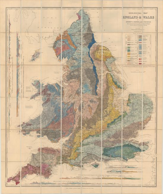
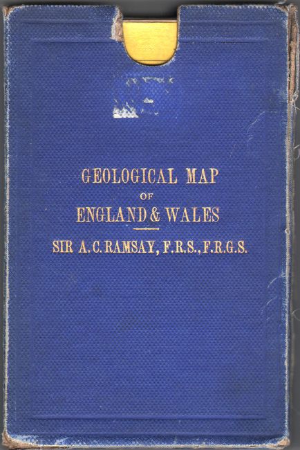
This superb, large-scale thematic map covers England and Wales. It is vibrantly colored to illustrate nearly 30 different geological types. The map provides exceptional detail of the roads, canals, and railways that made up the transportation system. In addition, there are profile maps along the left side and bottom showing the geology for specific locales. Dissected and laid on original linen with advertisements pasted on verso on yellow cardstock. The map folds into a blue cloth slipcase with gilt title on the front. Published by Edward Stanford.
References:
Condition: A
A bright example with a hint of toning and soiling. The edges of the slipcase are very worn and beginning to separate in a few spots, and there are remnants of an old label on the front cover.


