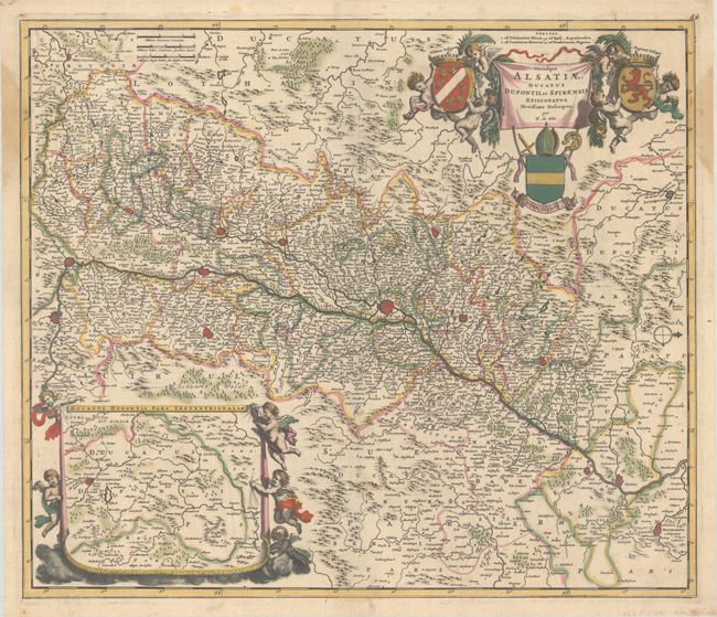
Subject: Northeastern France & Southwestern Germany, Rhine River
Period: 1687 (circa)
Publication:
Color: Hand Color
Size:
22.3 x 19.1 inches
56.6 x 48.5 cm
This beautifully engraved map of Alsace features excellent detail of the Rhine. It centers on Strasbourg and extends from Heidelberg south to Basel. The more notable cities of the region are depicted in miniature plan form, including Haguenau, Colmar, and Freiburg in Breisgau. Five putti flank an inset map at bottom left that shows Ducatus Dupontii, including the city of Zweibrucken. A compass rose orients the north to the right. The fabulous title cartouche at top right incorporates putti and three coats of arms. This is the third state, with the addition of Lauffenburg just above the inset, published 1687-88.
References: Carhart #71.3.
Condition: B+
A nice impression with full contemporary color on a bright sheet with a few spots of foxing and stains along the sides of the sheet that just enter the map border.


