Subject: Southern Italy
Period: 1705 (dated)
Publication: L'Atlas Curieux ou le Monde...
Color: Hand Color
Size:
13.1 x 8.9 inches
33.3 x 22.6 cm
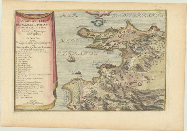
This is great map of the vicinity of Pozzuoli, which is situated on the Campi Flegrei, also known as the Phlegraean Fields. It provides an incredible amount of information of the volcanic region and the Greek and Roman ruins in the area. Cume was the first Greek colony on the mainland of Italy and the Roman naval base at nearby Misenum (Misene) housed the largest naval fleet in the ancient world. Pozzuoli's Latin name Puteoli (little wells) refers to the many hot springs in the area, most notably Solfatara, purported to be the home of Vulcan, the god of fire. The map, together with the numbered key, provides information on scores of important sites including Lac d'Averno (Lake Avernus), which was believed to be the entrance to the underworld, the Circo Antique(Amphitheatrum), Palais de Ciceron (Cicero's villa), several temples, and much more of interest.
References:
Condition: A
Nice impression and color on a sheet with an "I G" watermark and light toning along edges of sheet.


