Subject: India & Sri Lanka
Period: 1752 (dated)
Publication:
Color: Black & White
Size:
41.2 x 17.5 inches
104.6 x 44.5 cm
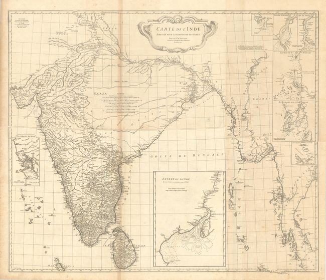
This impressive, large-scale map covers all of India and Sri Lanka with fine coastal detail, extending to show much of the western coastline of Burma and Thailand as well. The map includes excellent detail of the river systems, several inland routes, and pictorial topography. It is augmented by 8 inset maps including a large Entree du Gange with numerous soundings and shoals identified. Adorned by a decorative title cartouche and six distance scales. Printed on four sheets of heavy paper, joined in two horizontal segments.
References:
Condition: B+
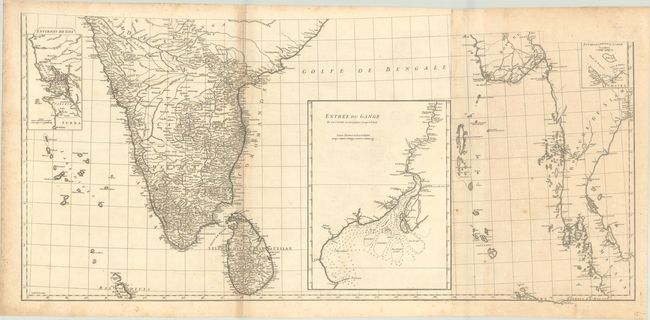
Crisp impressions on sturdy sheets with a bird watermark. There is light toning, a bit of offsetting along the folds, and foxing that is mostly confined to the edges of the sheets. The first image is a composite image, the map is joined in two horizontal segments.


